Loading community posts…
Featured Projects
Showcasing our innovative solutions across various industries
⭐ FLAGSHIP PROJECT
Mdahalo Communication Platform
Revolutionary white-label communication platform serving institutions, celebrities, religious organizations, and academic institutions with complete brand customization, data sovereignty, and multi-revenue monetization models.
Institutional Edition
Celebrity Edition
Faith Edition
Academic Edition
4
Platform Editions
100%
White-Label
Local Control
Multi-Revenue
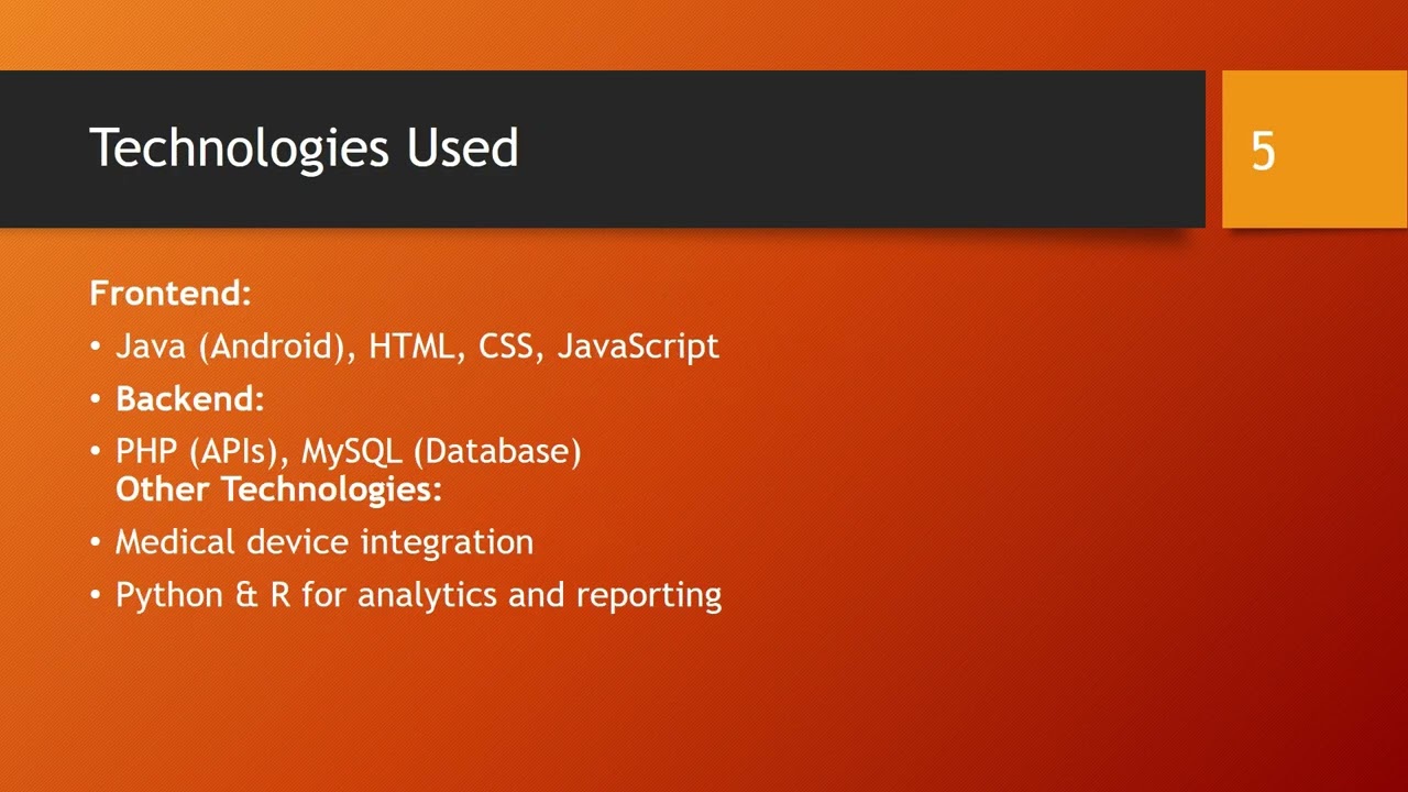
Healthcare GIS Mapping
Optimizing healthcare facility locations across Tabora region
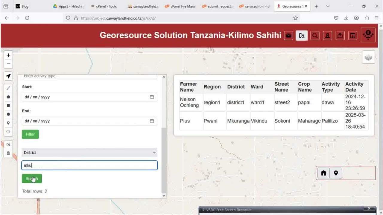
Agriculture Monitoring
Tracking crop yields, soil conditions, and irrigation networks
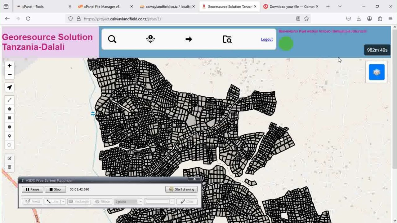
Real Estate Dashboard
Interactive property management with maps and analytics
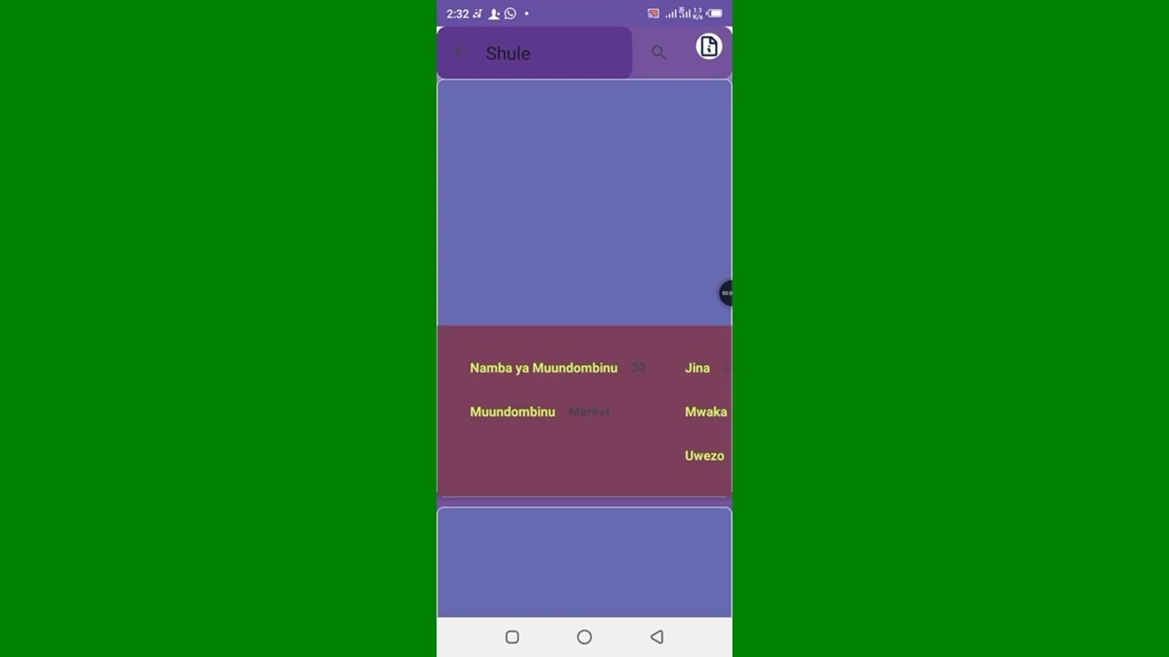
Education Infrastructure
Monitoring school facilities and resource allocation